Saturday, June 30, 2018

Brompton goes to Red Hill Rail Trail

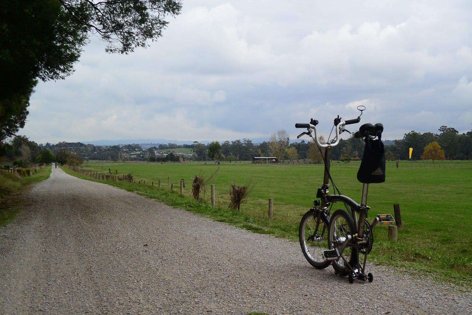
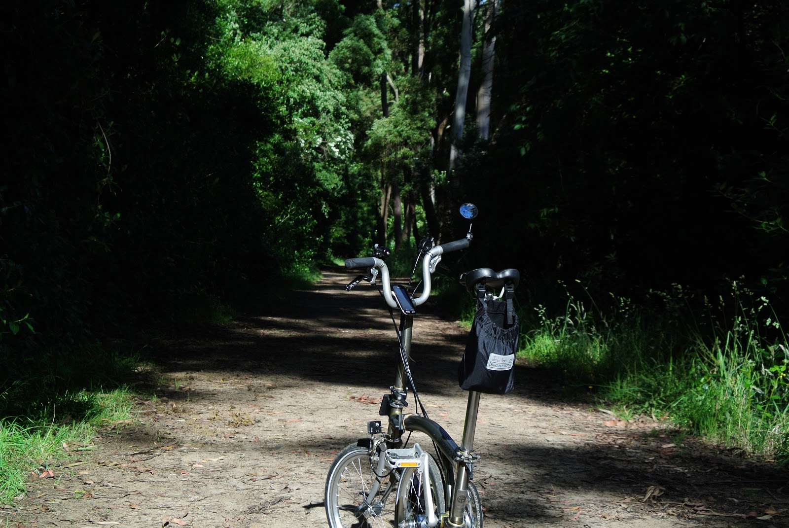
Brompton and I went to the Red Hill Rail Trail.

The Red Hill Rail Trail is only 6.5 km trail in Mornington Peninsula. It runs from Merricks toward Red Hill South where famous restaurants and wineries concentrate.

The line to Red Hill was opened in 1921 as a 16 km branch line from Bittern on the Stony Point line. In those days it primarily carried fruit such as apples, pears and strawberries to be sold in Melbourne. However, the line was unsuccessful in terms of business. As roads in the Peninsula were quickly improved, passenger traffic had slowed and the regular train service reverted to a weekly mixed goods train by 1929. The line was closed in 1953 after only 32 years of operation. The track was dismantled by 1955.

After decades, the section only between former Merricks Station and Red Hill Station was revived as a rail trail. The rest of the former railway land between Bittern and Merricks is now in private ownership but may be restored to public access some day.
[ride data]
Route: Merricks - Red Hill South -Merricks
Distance: 12.7km (return)
Max. difference of elevation:157m
Average % of slope: total 0% ascend 3.6% descend 3.6%
Acquired elevation: 192m


The Red Hill Rail Trail starts at the backyard of Stonier Wines in Merricks.

Brompton goes along vineyards and pastureland toward Red Hill.

On Sunday there are a lot of people, bikes, and dogs on the trail.


The trail is also an equestrian trail. Popular among horse riders.

Brompton runs across railway cutting.

 Finally Brompton and I reached Red Hill.

It is a good idea to have a break here.

Sunday, May 20, 2018

Brompton completed the Lilydale Warburton Rail Trail 40km

Brompton and I completed all the way of the Lilydale-Warburton Rail Trail between Warburton and Lilydale. The Rail Trail lasts 40 kilometers along the old Warburton railway line from Lilydale.  As usual, I enjoyed one way ride for 40 km as I used bus for another way.


[Ride data]
Equipment: M6L-X
Route: Old Warburton Station (COG Cafe) to Lilydale Station
Distance: 39.1km


Lilydale Warburton Rail Trail is a popular trail near Melbourne with distance of 40 kilo meters between Warburton and Lilydale. The route formerly used as a railway line is now the Lilydale to Warburton Rail Trail, a pedestrian, bicycle and equestrian trail. The rail trail is convenient for people because it starts from the end of the metropolitan rail network at Lilydale Station to original Warburton Station via original stations of Mount Evelyn, Wandin, Seville, Woori Yallock, and Yarra Junction. You can enjoy rural landscape throughout the route to the resort town of Warburton nestled in the mountains.

The Warburton line was constructed as a railway branching off from the old Healesville line at the present terminus, Lilydale. The line opened in 1901 and closed in 1965.


Started a ride today from Old Warburton Station after a cup of coffee at COG Cafe.


The village town was covered with moisture and autumn tint this morning.


I found a beautiful rose flower in the village.


Recent cold weather caused a beautiful autumn tint here and there.


A lot of cyclists enjoyed a ride on this beautiful rail trail trail even after morning dizzle.


Related articles:
Brompton goes to Bass Coast Rail Trail
Brompton completed the Ballarat-Skipton Rail Trail 57km
Bromptons go to Great Victorian Rail Trail - First day
Bromptons go to Great Victorian Rail Trail - Second day
Brompton goes to the Ballarat-Skipton Rail Trail
Brompton goes to Gippsland
The Trail to Port Fairy
Spring has come to Australia
Brompton goes to the Great Victorian Rail Trail (the Goulburn Valley rail trail)
Brompton goes to Lilydale Warburton Rail Trail

Tuesday, April 10, 2018

Your Name.

"Your Name." (Japanese title:  Kimi no Na wa.) is a 2016 Japanese animated film created and directed by Makoto Shinkai with music composed by Radwimps. It tells a fantasy of time travel and body swap between high school girl in rural Japan and a high school boy in Tokyo. It achieved a major commercial success and received widespread acclaim.


High school girl Mitsuha has become bored of her traditional life in beautiful Hida mountain region where she was born in a shrine as a successor of a sacred maiden.


She wishes if she were a teenage boy in modern Tokyo and, on one day, she had it in a dream. However, when she sees a message on her notebook asking "Who are you?" and when her friends react at her strange behavior on the previous day, she suspects something is going on. At the same moment, high school boy Taki experiences the same thing.


They finally realize that their spirits swap back and forth at random and start communicating with each other by leaving notes and messages in notebooks and smartphones. Mitsuha enjoys Taki’s high school days in Tokyo and Taki also becomes accustomed to the Japanese traditional life in an unknown rural village. During the time, Taki wonders that Mitsuha's latest note tells about a comet approaching to the Earth as a nationwide news but he never hears about it.


One day, Taki, as Mitsuha, accompanies her grandmother and sister to go to the sacred place in the mountain. The sacred body as a huge stone is located far in the caldera of the mountain top. It is a regular event for the shrine family to leave Kuchikamizake, the ritual sacred sake, for the god stone located on the mountain. Grandmother tells Mitsuha (Taki) that there is the body of the village guardian god who rules time, human experiences and reconnections. For some reason Taki is impressed by her words. Grandmother seems to notice Mitsuha is not Mitsuha but Taki on that day.


After a while, the body switching suddenly ends. He decides to visit her hometown though he does not know its name and where. Based on his memory of the scenery, he finally reached Hida-Takayama which has to be a vicinity of Itomori Villege where Yotsuha lives but hears that the village was vanished 3 years ago due to an unexpected fall of a fragmented meteorite.


Taki understands that the disaster happened exactly on the ritual day 3 years ago when he watched a beautiful meteor shower from the balcony. He finds the names of Mitsuha, her sister, grandmother and other people in the list of victims. He suddenly realizes their timelines were separated by three years. Taki despairs but an idea comes across. He goes to the mountain top where he once visited as Mitsuha with her sister and grandmother in his dream.


~~~~~~~~~~~~~~~~~~~~~~~~~~~

Five years later, Taki does not remember anything but he senses he is missing something important, being interested in the Itomori's miracle that most of the inhabitants survived by chance due to the mayor's unanticipated direction.

One day, Taki and Mitsuha recognize each other when their trains draw parallel near Yoyogi Station. They disembark in the different station (because he was on Chuo line and she was on Sobu line.) and search for one another, finally meeting each other on a stone staircase near Sendagaya station. Feeling as if they have met before, they ask for each other “what’s your name?” with burst of tears.
source: Kimi no Na wa Official Page http://www.kiminona.com/


End of the story
-----------------------------------------------------------------------

If you bring Brompton to Japan, you may visit locations where Mitsuha and Taki live and pass each other. 

Trailer:

Monday, January 15, 2018

Brompton goes to Bass Coast Rail Trail

Weeks ago Brompton and I went out for a ride to the Bass Coast Rail Trail located approx. 130 km  southeast of Melbourne. It is one of the most scenic rail trails in Victoria.

The trail is part of former 
"Powlett River Railway", a branch line from Nyora to Wonthaggi.  The line was opened in 1910 to service the coal mines, passengers, and farm produce around Wonthaggi and Kilcunda. Quality coal produced in the area once supported Victorian Railway's culmination as fuel for locomotives.  However, not only motorization in the 1960's but fuel conversion during the 1950's impacted the line. The line was closed in 1978 due to decline in passengers and mining. When the rail track was dismantled in 1988, the southern half section (17km from Anderson to Wonthaggi) was renovated as a rail trail for people's memory.

[data]
Distance: 28km (Anderson→Kilcunda→Wonthaggi→Kilcunda)
Average speed: 18km/hour


In the morning, I took a V-line bus from Southern Cross Station to Anderson where the Bass Coast Rail Trail starts.  


A steady down slope continues from Anderson to Kilcunda. The section approaches the sea near Kilcunda.


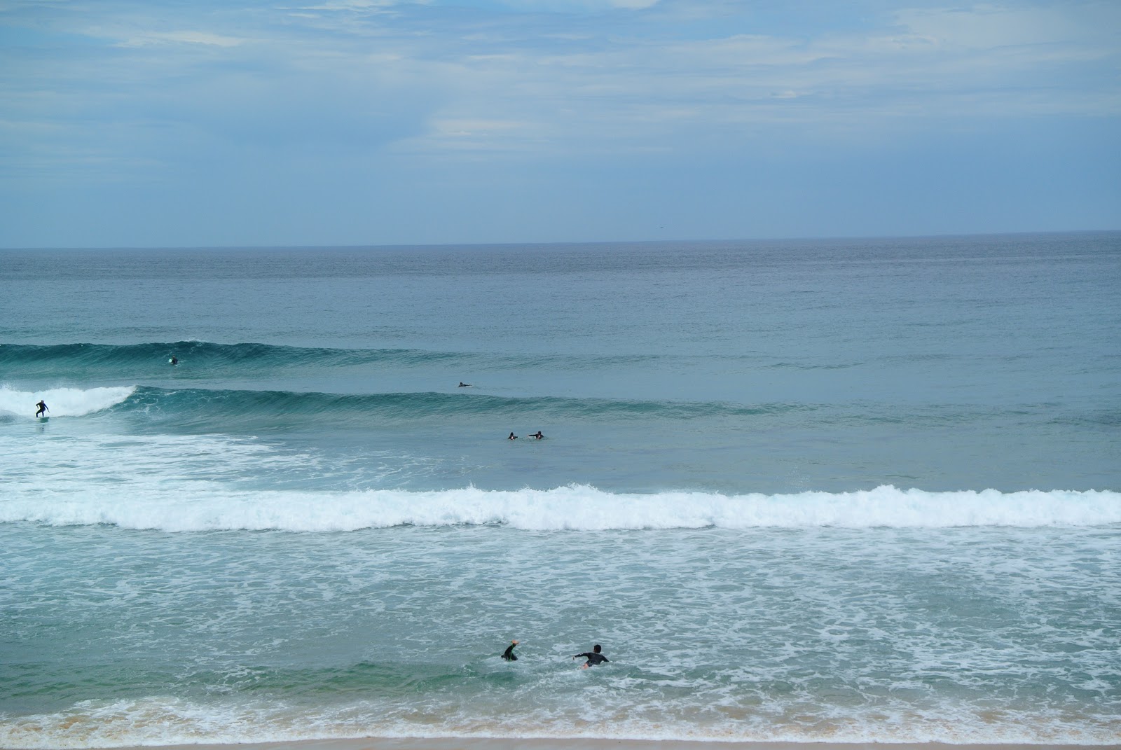
There are nice waves washing the beach today.


Brompton runs across the iconic trestle bridge over Bourne Creek. 


Surfers enjoy waves.


On the way from Kilcunda to Wonthaggi, there is a wooden bridge over Powlett River. Windmills are seen far from here.


Finally we arrives at former Wonthaggi Station.


The trail links to the George Bass Coastal Walk at Kilcunda. When I came back to Kilcunda, I enjoyed a short ride before I got on the bus at Kilcunda.


If you have time, you may enjoy the coastal walk from Shelley Beach to the beach at Punch Bowl.

Brompton completed the Ballarat-Skipton Rail Trail 57km

Brompton and I completed all the way of the Ballarat-Skipton Rail Trail between Skipton and Ballarat weeks ago. The Ballarat–Skipton Rail Trail continues 55 kilometers along the old Skipton railway line from Ballarat toward Skipton via Haddon, New Town, and Linton.  Nimmons Bridge, a restored trestle bridge is located in the middle of the trail.

Last June, Brompton and I did only a half way to Nimmons bridge because a return ride seemed too long and not easy for Brompton.

In order to go all the way within a day trip from Melbourne, I decided to use V-line bus from Ballarat Station to Skipton.


Getting on the 11:50 V-Line bus bound for Hamilton, it took about an hour to arrive at Skipton where I started today.

[Ride data]
Equipment: M6L-X
Route: Old Skipton Station to Wenduree Station (Ballarat)
Distance: 58.8km
Max. Difference of Elevation: 199m
Average Slope: total 0.3% Ascend 1.9% Descend 2%
Acquired Elevation: Ascend 350m Descend 204m


The trail started. Ballarat is 55km away from the trail head.


The trail runs across farm lands.

After a while, the trail approaches the sections of woods land and mountains.

The trail continues. The trail has a distance post in every kilo meter.


Took a short break at Linton Station.

I found ruins of the old bridge passing over the trail near old Happy Valley station.


Approaching the landmark of the trail now.

Brompton and I finally reached the Nimmons Bridge, a beautifully restored trestle bridge.


The bridge goes across the Woady Yaloak River which rises around west of Ballarat and flows generally south towards Lake Martin and then Lake Corangamite. Though the valley is relatively huge, volume of water is small.

After lunch break at the bridge, Brompton and I continued for another hours to end up the ride at Wenduree Station.

It was an impressive trail ride on the old railway which once connected people in the gold field.